About kvwmap - WebGIS solution
kvwmap is a complex WebGIS-Client and -Server solution for eGovernment-purposes written in PHP using UMN-Mapserver-technologies, MySQL- and PostgreSQL/PostGIS-databases, SVG, etc. ATTENTION!!! This Project is no longer...
kvwmap is a complex WebGIS-Client and -Server solution for eGovernment-purposes written in PHP using UMN-Mapserver-technologies, MySQL- and PostgreSQL/PostGIS-databases, SVG, etc.
ATTENTION!!! This Project is no longer updated on SourceForge.
Please use instead.
Features
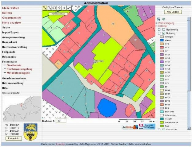
- ALK&ALB Integration
- role-based user management
- Generic Layer-Concept (display, creation, editing and searching in every PostGIS-layer)
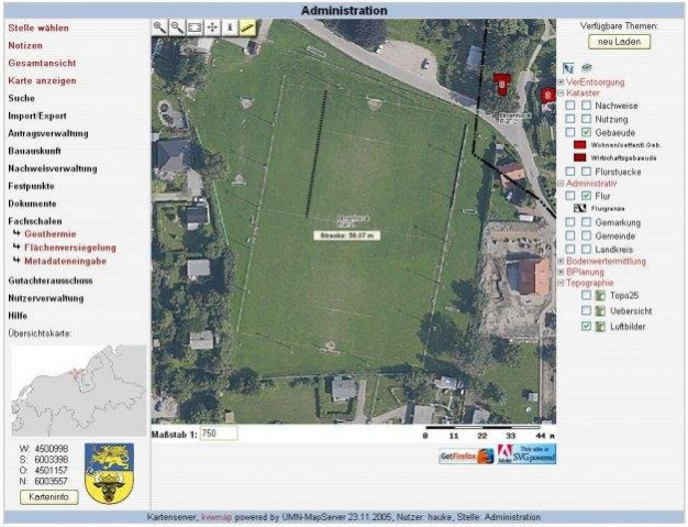
- Geometry-Editor for polygon-, line- and point-layers
- Configurable Print-Layouts for Maps and Data
- WMS, WFS Support
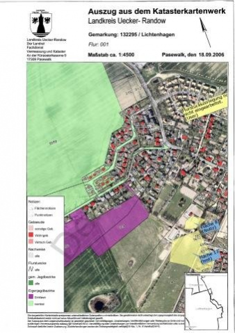
- Management of Cadastral documents
- Land Value Mapping and Editor
- Shape and CSV Ex- and Import
- Styleeditor
Previous Versions
Here you can find the changelog of kvwmap - WebGIS solution since it was posted on our website on 2015-04-26 03:00:00.
The latest version is 2.1 and it was updated on 2024-04-22 19:02:55. See below the changes in each version.
kvwmap - WebGIS solution version 2.1
Updated At: 2015-05-18
kvwmap - WebGIS solution version kvwmap-1.7.5
Updated At: 2011-02-07
Changes: Several fixes and updates
Disclaimer
External Download
We do not host kvwmap - WebGIS solution on our servers. We did not scan it for viruses, adware, spyware or other type of malware. This app is hosted by the software publisher and passed their terms and conditions to be listed there. We recommend caution when installing it.
The external download link for kvwmap - WebGIS solution is provided to you by apps112.com without any warranties, representations or guarantees of any kind, so access it at your own risk.
If you have questions regarding this particular app contact the publisher directly. For questions about the functionalities of apps112.com contact us.